 Catálogo REDIAM
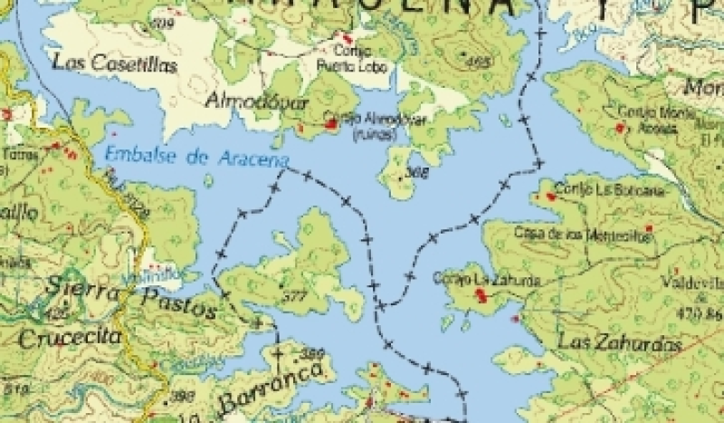
Base cartográfica del mapa Guía Parque Natural Sierra de Aracena y Picos de Aroche del año 2012
Imágenes ráster del Mapa Guía Parque Natural Sierra de Aracena y Picos de Aroche del año 2012 a escala 1:65.000, incluyendo la georreferenciación de los mismos.
Simple
- Date (Creation)
- 2015-12-03
- Citation identifier
- Sin identificador
- Presentation form
- Digital image
- Purpose
-
Base de referencia del Parque Natural Sierra de Aracena y Picos de Aroche
- Status
- Completed
- Point of contact
-
Organisation name Individual name Electronic mail address Role Consejería de Medio Ambiente y Ordenación del Territorio. Junta de Andalucía
Author
- Theme
-
-
Buscar en el tesauro
-
IDEAndalucia
-
-
GEMET - INSPIRE themes, version 1.0
-
-
Ortoimágenes
-
Zonas sujetas a ordenación, a restricciones o reglamentaciones y unidades de notificación
-
- Access constraints
- Other restrictions
- Use constraints
- Other restrictions
- Other constraints
-
Creative Commons Attribution 4.0 International Public License (CC BY 4.0)
- Spatial representation type
- Grid
- Language
- Spanish; Castilian
- Character set
- UTF8
- Topic category
-
- Boundaries
- Environment
- Imagery base maps earth cover
- Location
))
- Supplemental Information
-
0701010901
- Reference system identifier
- EPSG:3034
- Reference system identifier
- INSPIRE RS registry / http://www.opengis.net/def/crs/EPSG/0/4258
- Distribution format
-
Name Version TIFF
PDF
lyr
- Units of distribution
-
Datos en descarga
- OnLine resource
-
Protocol Linkage Name WWW:LINK-1.0-http--related
https://descargasrediam.cica.es/repo/s/RUR?path=%2F07_PATRIMONIO_NATURAL%2F01_ESPACIOS_PROTEGIDOS%2F01_RENPA%2F09_GUIAS%2F01_MAPAS_GUIA%2FMG_Aracena_2012 Descarga Base cartográfica del mapa Guía Parque Natural Sierra de Aracena y Picos de Aroche del año 2012 (MG_Aracena_2012)
- Units of distribution
-
Servicio WMS
- OnLine resource
-
Protocol Linkage Name OGC:WMS-1.3.0-http-get-map
https://www.juntadeandalucia.es/medioambiente/mapwms/REDIAM_mapa_guia_pn_aracena_2012? REDIAM. WMS Base cartográfica del mapa guía Parque Natural Sierra de Aracena y Picos de Aroche del año 2012
- Hierarchy level
- Dataset
Conformance result
- Date (Publication)
- 2010-12-08
Citation identifier
- Explanation
-
Consultar el reglamento mencionado
- Pass
- Yes
- Statement
-
Georreferenciación del mapa rasterizado utilizando la herramienta de ArcMap, Georreferencing. Transformación afín, de primer orden.
- Description
-
Georreferenciado de la imagen RASTER del Mapa Guía del Parque Natural Sierra de Aracena y Picos de Aroche del año 2012
- Date / Time
- 2015-12-03T00:00:00
- Description
-
Mapa Guía del Parque Natural Sierra de Aracena y Picos de Aroche del año 2012
- File identifier
- a8aea34f-0dd7-4802-85e8-01316da0e22a XML
- Metadata language
- Spanish; Castilian
- Character set
- UTF8
- Hierarchy level
- Dataset
- Date stamp
- 2023-07-07T05:47:40.693Z
- Metadata standard name
-
ISO 19115 "NEM"
- Metadata standard version
-
2003 "1.0"
- Metadata author
-
Organisation name Individual name Electronic mail address Role Consejería de Sostenibilidad y Medio Ambiente. Junta de Andalucía
Author
Overviews
Spatial extent
Provided by
