Catálogo REDIAM
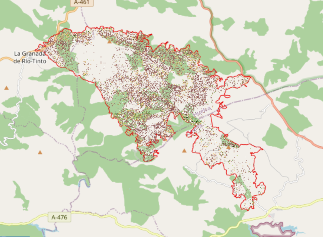
REDIAM. WMS NDVI ortofoto Copernicus 2018. Incendio de La Granada de Rio Tinto, Zufre y El Castillo de las Guardas.
Servicio WMS que representa el índice de vegetación NDVI generado a partir de la ortofoto Copernicus de 2018 de 0.20 m de resolución sobre el ámbito del incendio de La Granada de Riotinto de 2017. Este índice permite analizar el estado en el que se encuentra en 2018 la vegetación arbórea afectada por el incendio. Nodo de la Red de Información Ambiental de Andalucía. Junta de Andalucía. Integrado en la Infraestructura de Datos Espaciales de Andalucía, siguiendo las directrices del Sistema Cartográfico de Andalucía. Nodo de la Red de Información Ambiental de Andalucía. Junta de Andalucía.
Simple
- Date (Revision)
- 2020-09-02T17:03:34
- Status
- Completed
- Point of contact
-
Organisation name Individual name Electronic mail address Role Consejería de Agricultura, Ganadería, Pesca y Desarrollo Sostenible. Junta de Andalucía
--
Point of contact
-
ISO
-
-
infoMapAccessService
-
- Theme
-
-
WMS
-
Andalucía
-
REDIAM
-
Vegetación Arbórea
-
Incendio Forestal
-
NDVI
-
vuelo fotogramétrico
-
ortofotografía
-
Copernicus
-
IDEAndalucia
-
-
GEMET - INSPIRE themes, version 1.0
-
-
Ortoimágenes
-
-
Registro de temas REDIAM
-
-
Teledetección y caracterización del territorio
-
- Use limitation
-
Para saber la licencia hay que mirar el campo de acceso y uso.
- Access constraints
- Other restrictions
- Use constraints
- Other restrictions
- Other constraints
-
Este servicio se puede usar de modo libre y gratuito siempre que se mencione a los autores y propietarios de la información
- Service Type
- OGC:WMS
- Service Version
-
1.3.0
- Fees
-
Gratuito
))
- Coupling Type
- Tight
- Contains Operations
-
Observación del Territorio
-
-
Observación del Territorio. Producto derivado
-
- Distribution format
-
Name Version
- OnLine resource
-
Protocol Linkage Name OGC:WMS-1.3.0-http-get-map
http://www.juntadeandalucia.es/medioambiente/mapwms/REDIAM_indice_NDVI_copernicus_LGRT?
- Hierarchy level
- Service
Attributes
Conformance result
- Date (Publication)
- 2010-12-08
Citation identifier
- Explanation
-
Consultar el reglamento mencionado
- Pass
- Yes
- File identifier
- 17a884977e1a791b2160846eb361ab98e963e947 XML
- Metadata language
- Spanish; Castilian
- Character set
- UTF8
- Hierarchy level
- Service
- Date stamp
- 2022-09-02T06:31:21
- Metadata standard name
-
ISO 19119/2005
- Metadata standard version
-
1.0
- Metadata author
-
Organisation name Individual name Electronic mail address Role Consejería de Sostenibilidad, Medio Ambiente y Economía Azul. Junta de Andalucía
--
Point of contact
Overviews
Spatial extent
Provided by