Catálogo REDIAM
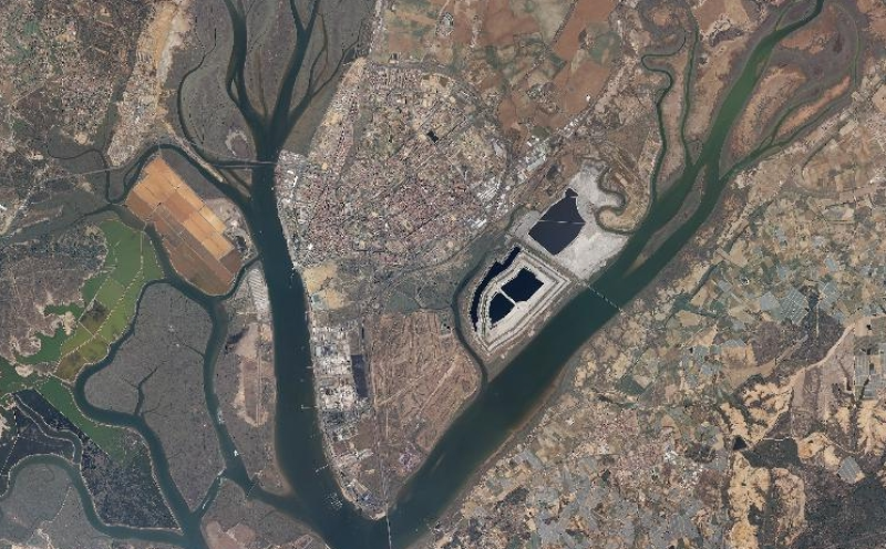
REDIAM. WMS Ortofoto Digital Color de Andalucía 2008-2009
Servicio WMS correspondiente a la Ortofoto regional 2008-2009 composición por cuadrantes de Ortofotografía Color a 0.5m de resolución: Cuadrante Sureste (SE) y Cuadrante Suroeste (SW) generadas a partir de vuelos de 2008 y Cuadrante Noreste (NE) y Cuadrante Noreste (NW) generadas a partir de vuelos de 2009. Nodo de la Red de Información Ambiental de Andalucía. Junta de Andalucía. Integrado en la Infraestructura de Datos Espaciales de Andalucía, siguiendo las directrices del Sistema Cartográfico de Andalucía.
Simple
- Date (Revision)
- 2012-11-13T10:44:00
- Status
- Completed
- Point of contact
-
Organisation name Individual name Electronic mail address Role Consejería de Medio Ambiente y Ordenación del Territorio. Junta de Andalucía
--
Point of contact
-
Registro de temas REDIAM
-
-
Teledetección y caracterización del territorio
-
- Theme
-
-
WMS
-
servidor de mapas en red
-
Andalucía
-
ortofotos
-
humanInteractionService
-
IDEAndalucia
-
- Use limitation
-
Este servicio se puede usar de modo libre y gratuito siempre que se mencione a los autores y propietarios de la información
- Access constraints
- Other restrictions
- Use constraints
- Other restrictions
- Other constraints
-
Creative Commons Reconocimiento 4.0 (CC BY 4.0)
- Service Type
- OGC:WMS
- Service Version
-
1.1.1
- Fees
-
Gratuito
))
- Coupling Type
- Tight
- Contains Operations
-
Observación del Territorio
-
-
Observación del Territorio. Producto primario
-
- Distribution format
-
Name Version WMS
1.1.1
- OnLine resource
-
Protocol Linkage Name OGC:WMS-1.1.1-http-get-map
http://www.juntadeandalucia.es/medioambiente/mapwms/REDIAM_Ortofoto_Andalucia_RGB_2008_2009?
- OnLine resource
-
Protocol Linkage Name WWW:LINK-1.0-http--link
http://www.juntadeandalucia.es/medioambiente/portal_web/rediam/productos/ServiciosOGC/KML/Ortofotos/Regionales/ortofoto_rgb_2008_2009.kml KML servicio
- OnLine resource
-
Protocol Linkage Name WWW:LINK-1.0-http--link
http://www.juntadeandalucia.es/medioambiente/site/rediam/menuitem.04dc44281e5d53cf8ca78ca731525ea0/?vgnextoid=0d2faa6de7397310VgnVCM2000000624e50aRCRD&vgnextchannel=867122ad8470f210VgnVCM1000001325e50aRCRD&vgnextfmt=rediam&lr=lang_es Ficha servicio Canal REDIAM
- Hierarchy level
- Service
Attributes
Conformance result
- Date (Publication)
- 2010-12-08
Citation identifier
- Explanation
-
Consultar el reglamento mencionado
- Pass
- Yes
- File identifier
- 6977c87dc8635352548e9cb6185cd0d9f6b22c2d XML
- Metadata language
- Spanish; Castilian
- Character set
- UTF8
- Hierarchy level
- Service
- Date stamp
- 2022-09-01T12:03:57
- Metadata standard name
-
ISO 19119/2005
- Metadata standard version
-
1.0
- Metadata author
-
Organisation name Individual name Electronic mail address Role Consejería de Sostenibilidad y Medio Ambiente. Junta de Andalucía
--
Point of contact
Overviews

Spatial extent
Provided by